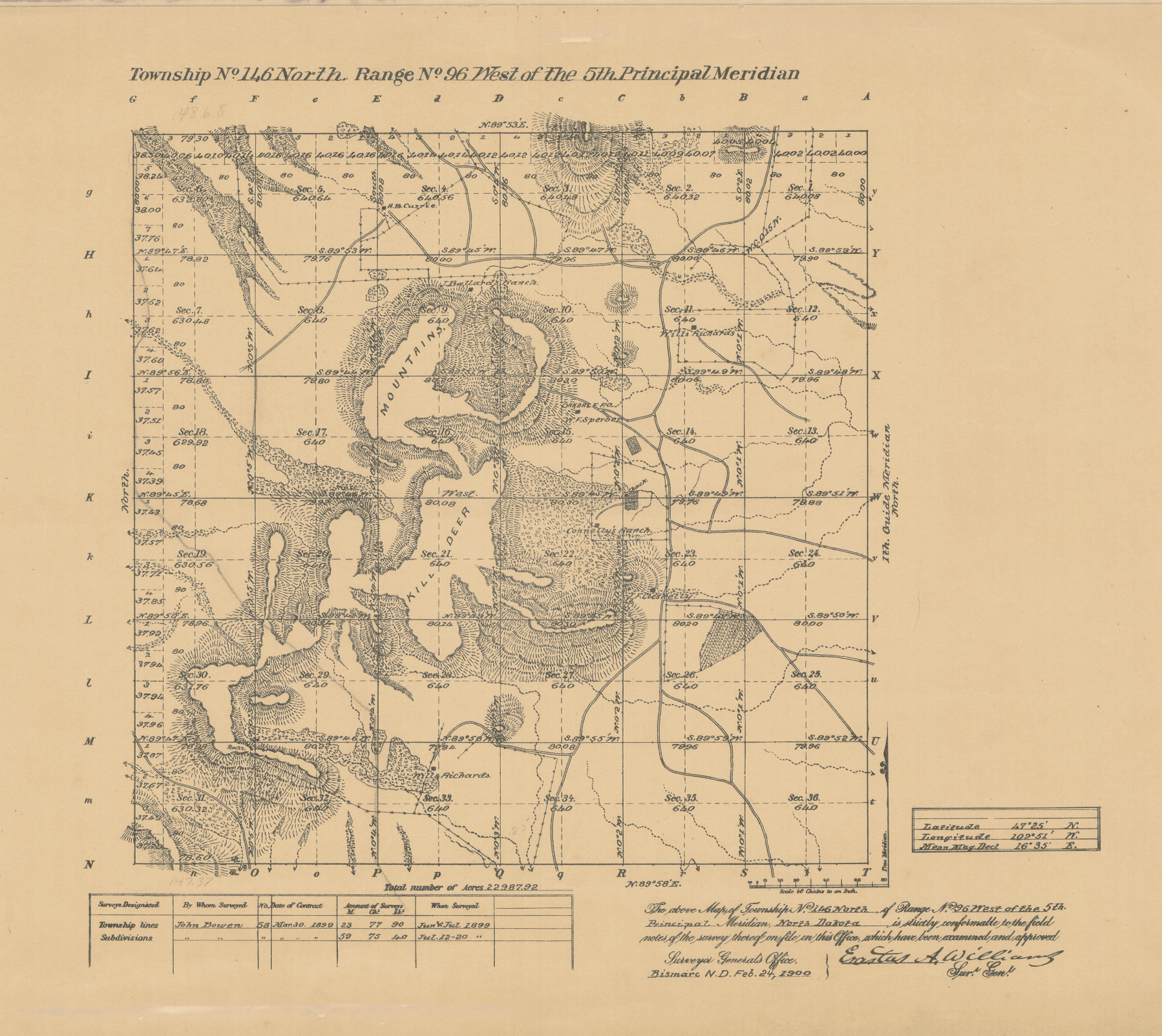
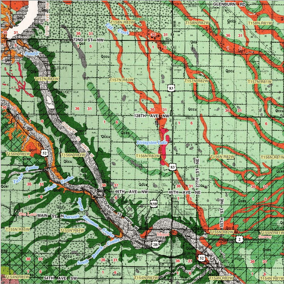
Spatial Data Services
The demand for spatial digital assets is growing exponentially which includes a host of remotely sensed data such as LiDAR and aerial imagery. LiDAR (Light Detection and Ranging) is a remote sensing method that uses pulsed laser technology to measure distances to the earth to produce precise, three-dimensional models of the earth's surface. LiDAR is fast becoming a very important tool used in resource management across a wide range of disciplines. With continual advances in technology, the accuracy and precision of LiDAR continues to evolve while costs continue to fall.
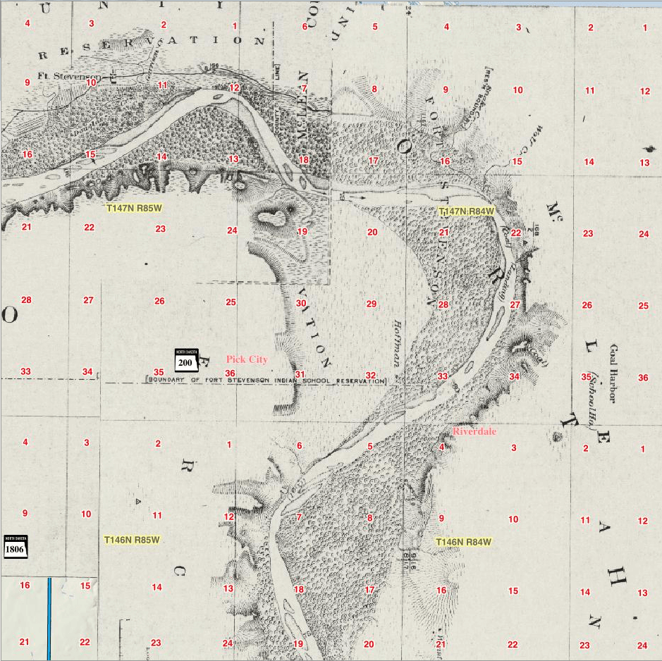
With the growing popularity of LiDAR data collection initiatives, most organizations are struggling with the ever-expanding demands associated with the storage and dissemination of these large datasets. When combined with the aerial imagery that is often collected in conjunction with LiDAR projects, the volume of data that is generated with each project is significant.
Beyond the growing demand for new data, most state and local governments are also struggling with legacy datasets that include aerial imagery and other paper map products that have been collected over the past 100 year. Because most of these resources largely exist in either paper or non-spatially indexed storage archives, these valuable resources are largely lost to resource planning and management initiatives in the current digital age.
OffRoad Software has developed a custom management solution designed specifically to address the challenges associated with managing, storing, and disseminating large spatial data sets such as LiDAR, aerial imagery, and historic map products. Beyond a simple mapping interface to view the extent and select the appropriate data to download, OffRoad Software's Spatial Data Dissemination Service was designed to provide real-time packaging technology to eliminate the typically awkward zip-and-ship solutions that most large data delivery systems provide.
The dissemination services provided by OffRoad Software also deliver a price point that is well below any competitive cloud service model. Given the tremendous investments associated with collecting LiDAR and other spatial data assets, it only makes sense to properly catalog and manage these data in a system that provides ease of access for all stakeholders. OffRoad Software can help you eliminate the obstacles associated with the storage and management of the data so that you can dramatically improve the return on investment for your spatial data assets.