Data Management Services
A basic requirement of any management system is to provide a systematic methodology for structuring data. If done properly, this provides the required foundation to manage, present, manipulate, and disseminate the data targeted by the management system. Just as important as identifying appropriate data collection targets, an effective data management system often dictates the success or failure of many management initiatives, and spatial data initiatives are no exception.
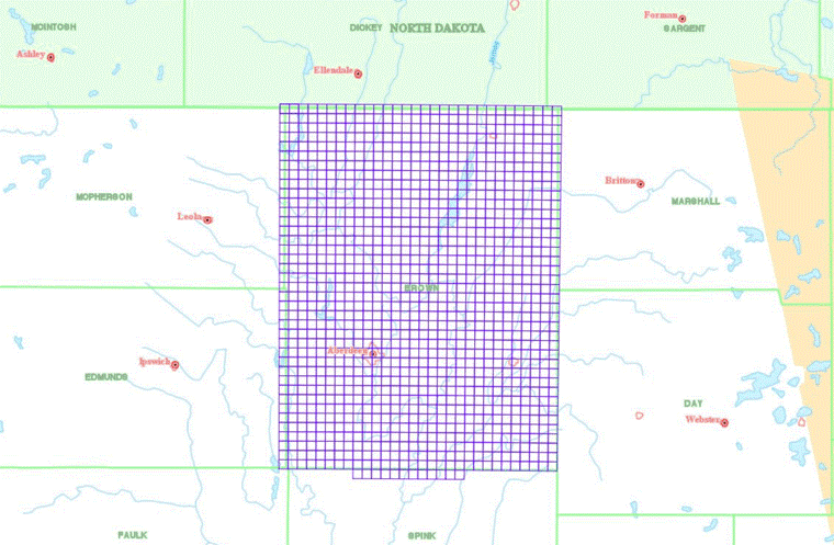
Most spatial data is generally organized in systematic tiles that cover the overall area targeted by the collection. In most cases, the tiling structure is unique to individual datasets. For example, it is not uncommon for a single LiDAR dataset to consist of hundreds or even thousands of tiles. Organizing spatial data in a traditional file-based data management structure tends to make it difficult to index in such a way that stakeholders can easily locate and retrieve the components of the data collection that fit the narrow scope of any local project work. This problem becomes even more problematic as you add multiple data sets and different types of data to a given file-based management infrastructure where each likely includes a different or unique tiling structure. Given these complexities, it only makes sense to build the management solution for this type of data around a fully functional spatial engine.
When presented in a mapping context, spatial data becomes fairly simple to index, present, and retrieve. OffRoad Software's spatial management solution is designed in such a way that it is capable of indexing an unlimited number of datasets. Through our mapping interface, it is very easy for any user to quickly define an area of interest and locate all of the data resources that may exist. This includes all of the necessary metadata regarding each dataset so that they can quickly and easily identify the appropriateness of the respective data for their project needs.
OffRoad Software makes it very easy for you to load and incorporate your data within the management solution that we provide. Simply provide us with the raw data and the relevant meta-data. OffRoad Software provides an ftp service for you to push the raw data and metadata directly to our loader service. Given the inherent size of LiDAR, OffRoad Software also provides options for you to drop-ship the data directly to us. Regardless of how you get the data to us, we take care of the rest. This includes the tiling and spatial indexing to make sure that the data is organized effectively for our system.