Scalability and Utility
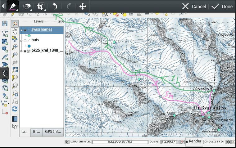
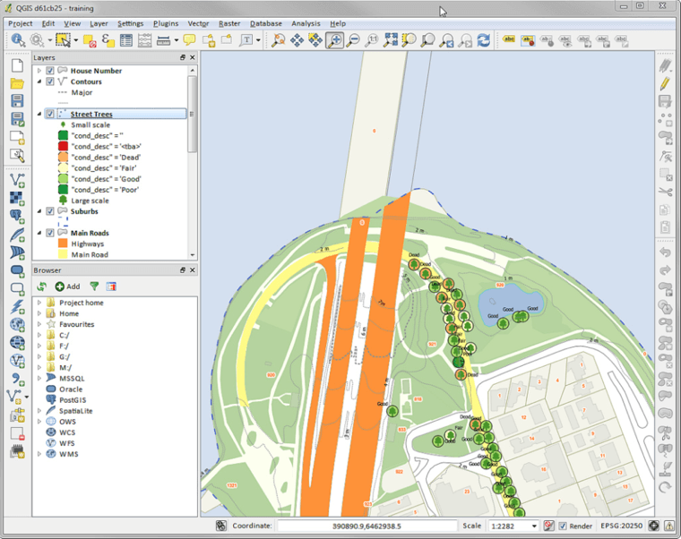
The spatial services engine that is included with the OffRoad GIS system is based upon open source solutions that allow you to leverage a wide variety of open source GIS client applications, such as QGIS. QGIS rivals ESRI's ArcMap as a full-featured general-purpose GIS application in every area except price. Because QGIS is open source, it can be freely installed on as many client machines as needed. Unlike an ESRI based solution, this means that you can develop and grow your GIS infrastructure without the need to go back and revisit your County Commissioners to increase your budget at every turn.
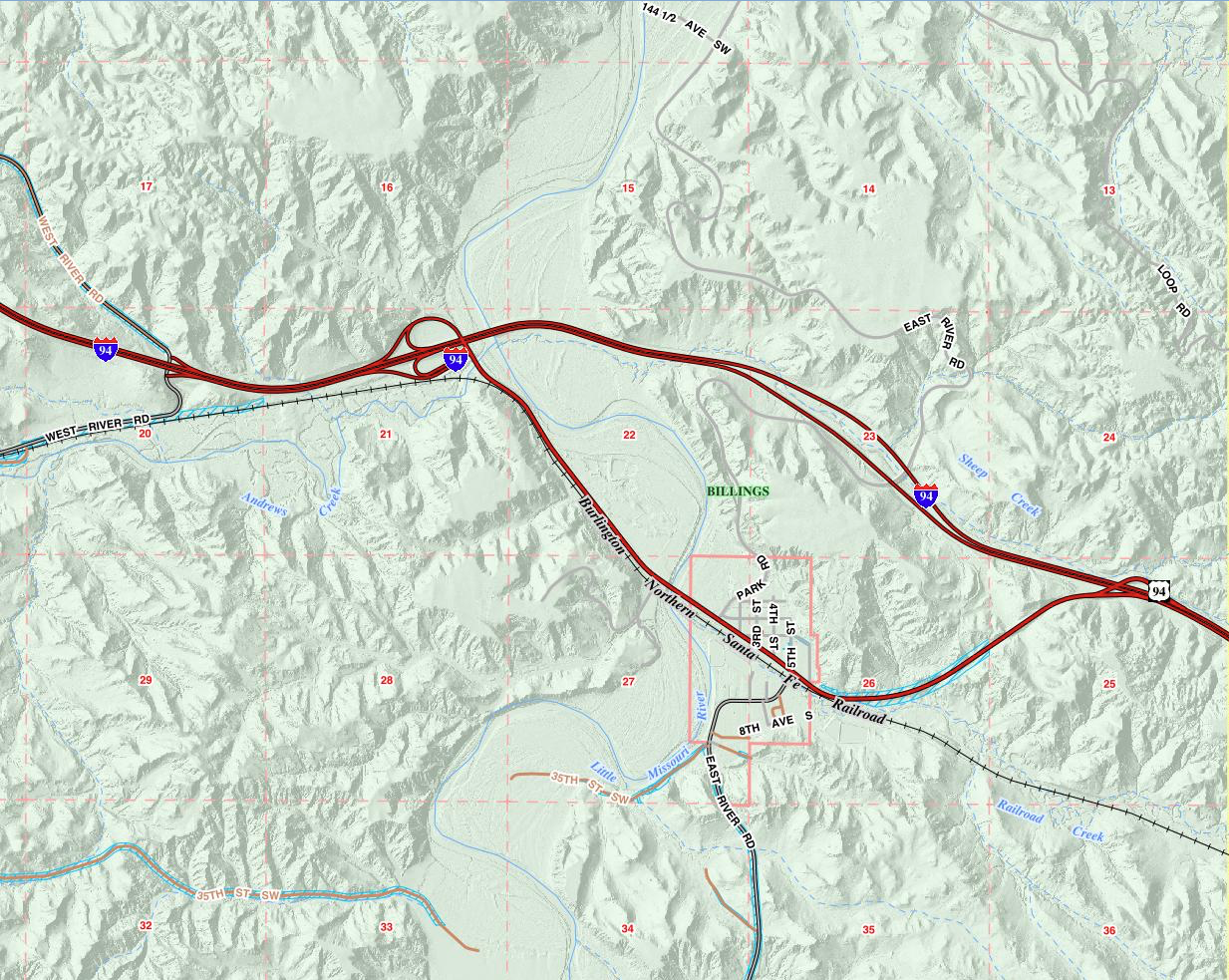
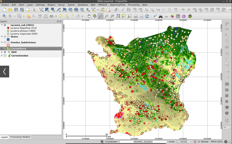
With all of the base data that is included in the OffRoad Spatial engine, QGIS can be used to perform a wide variety of GIS functions for your county including everything from managing your signs and roads to printing detailed maps that may delineate bus routes, fire districts, tax districts or any other area that may be of importance within your county. In short, the spatial engine provides a complete GIS solution for your county that extends well beyond simple parcel management.
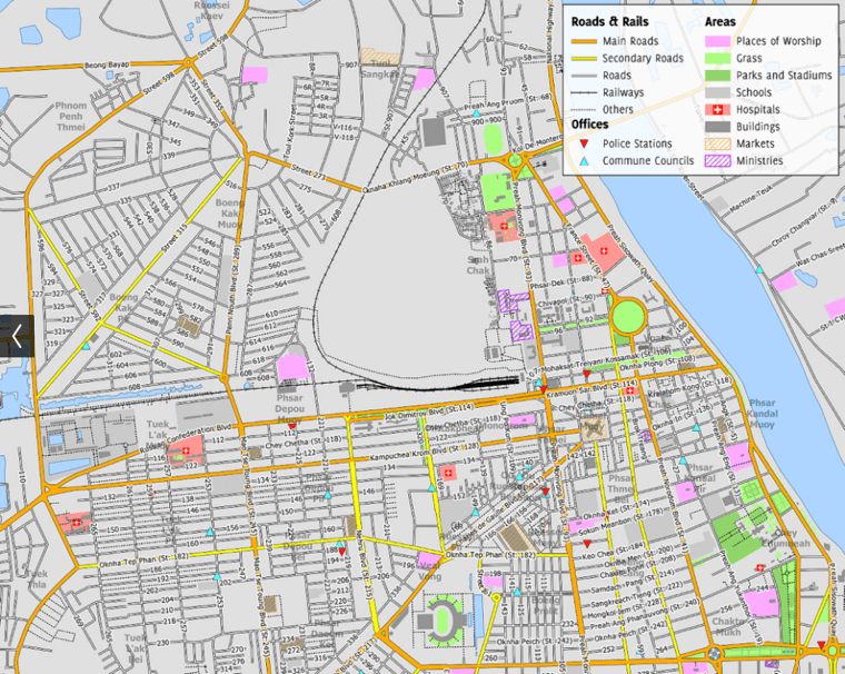
In addition to general GIS applications for internal use, the OffRoad Spatial Engine also includes an integrated web mapping engine. The web mapping engine is used to provide the base web services that are delivered as part of the OffRoad County GIS for purposes of serving your parcel data to the public. However, the web mapping engine can easily be extended to include additional service that are customized to address individual needs within your county. For example, a map service could easily be added that could outline fire hazard and fire indexes during drought conditions. Map services could also be added for individual management areas such as weed control, planned road work, and flood hazard areas.
Bottom Line - The OffRoad GIS system provides your county with a complete data service and mapping engine to address all of the GIS needs within your county. All of this can be accomplished with no additional costs as the spatial engine is bundled with the OffRoad GIS system and does not require additional licensing costs because it is based upon open-source solutions. In addition, all of the base data is developed and maintained by OffRoad Software, as part of the general maintenance of the OffRoad GIS system. This means that your soils data, hydrology, roads, and any of the other base data layers are added or modified as changes are made available. OffRoad Software also maintains the aerial images within the system so that as new imagery is made available it is integrated into the spatial engine. This means that you and your staff no longer need to be concerned with all of the basic data management requirements for all of the base data for your county. Instead you can remain focused on managing the data that is relevant to your management initiative.